
Saariselkä
Open Fell Biking is Saariselkä’s speciality, which people come to enjoy from even further distances.
Start pedalling towards the peak where you will find views that open out over theendless chain of open fells. Or take your bike and head down the windy path intoforest depths and be taken away by the flow. The OFB terrain has routes for both beginners trying out mountain biking for the first time and experienced cyclists seeking challenges and authentic adventures far away, above the Arctic Circle, in the wild Arctic nature.
There is an extensive network of diverse and different-levelled routes in Saariselkä; during the summer, an astonishing total of 230 kilometres.
In the downloadable Open Fell Biking PDF map, available below, you can find the routes that suit you best
For beginners, we recommend circular routes, which are classed as easy andmoderate. For more experienced mountain bikers, there are almost endlessopportunities to find new path combinations.On the map, the routes, marked with the numbers 1-7, are easy to follow becausethey have been marked in the terrain with mountain bike symbols and the routenumber. In addition, the green so-called main route, which has been drawn out fromMoitakuru to Kakslauttanen, is an easy one, and it has also been marked in theterrain with a mountain bike symbol.
For beginners and new mountain bikers, we can recommend the following routes, particularly on electric bikes:
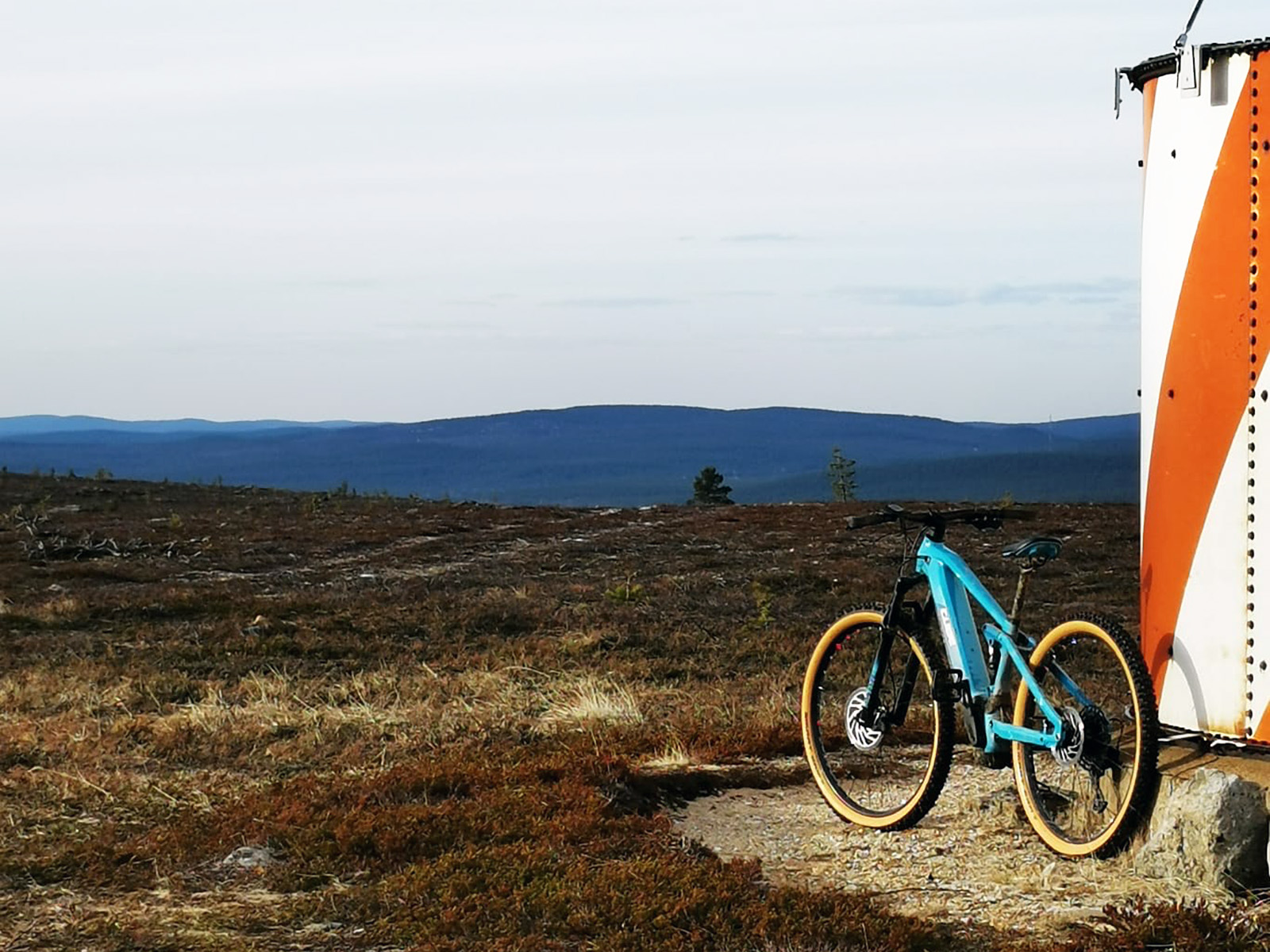
1. Kaunispää OFB 6 km
2. Moitakuru 13 km (short) / 27 km (long)
3. Iisakkipää panoraama 11 km / 13 km 11 km / 13 km (including the viewpoint of Iisakkipää’s peak). Note! The downhill section of Vahtamapää is stony but can be ridden down at a calm speed.
5. Rumakuru Gravel 25 km. Mainly easy to pedal. Declining to Luulampi and the inclination from there requires walking. Otherwise, the route is suitable even for beginners, and the route offers stunning views, visitation sites and picnic areas.
7. Sivakkaoja 15 km (short) / 22 km (long)
8. Gold route 8,5 km. The route has one river crossing where you will get your shoes wet.
There are also lots of gripping routes for experienced riders:
4. Vellinsärpimä 31 km
6. Rautulampi 22 km / 24 km. Please note the water crossing before Luulampi’s cafe.
9. Kulmakuru 30 km
In addition, there are many routes to pedal along for experienced bikers, which havebeen marked in brown, and they can be freely combined with the circular routes.Please note that some of the brown routes have not been marked in the terrain andrequire you to pay attention to ensure you stay on the correct route and can orientatein the terrain.
Please note the following rules in the Urho Kekkonen National Park section
Cycling in the area of Urho Kekkonen National Park is only permitted on the markedroutes, i.e. the routes shown on the map in the park area, excluding a couple ofexclusions:
1) It is prohibited to cycle on the path that runs to the peak of Kiilopää.
2) Additionally, cycling is separately permitted on the Kopsusjärvi terrain path andthe path between Niilanpää and Suomunruoktu although they have not been markedin the terrain. It is prohibited to leave the routes! You can cycle to Anterinmukkawilderness hut along the path from Luto’s suspension bridge.In the areas outside the national park, cycling is permitted on all routes, paths andtrails under everyman’s rights, excluding paths that take you directly to yard areas.Enjoy your time cycling!
